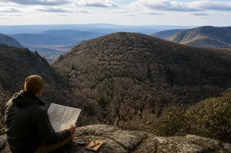
Contour Lines or Shaded Relief: Which View Helps First?
Contour lines or shaded relief can clarify different parts of a landscape. Learn how to read slope, drainage, and terrain shape without mistaking shading for height.
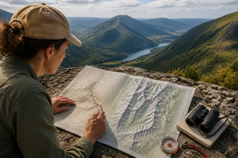
Contour lines or shaded relief can change how you read a hillside: contours show elevation patterns, while relief shading makes landforms easier to recognize at a glance. For a map-based view of slopes, ridges, and valleys, the useful question is what each layer depicts—and what it leaves ambiguous.
What does each map view represent?
Contour lines connect places at the same elevation. Their labels and spacing help you infer how ground rises, falls, and bends, although the curves simplify the terrain shown at the map’s scale.
Shaded relief uses light and shadow to suggest three-dimensional form. A ridge or hollow may stand out clearly, but the shade is simulated; it does not record the sun or prove how steep a slope is.
Some maps place contours over shaded relief. If the combined image is hard to read, compare the layers separately at the same zoom level. This makes it easier to tell which visual cue comes from elevation lines and which comes from the shading style.
Which view helps with a first reading of terrain?
Shaded relief is often easier for recognizing the broad arrangement of landforms. You may be able to trace a valley’s direction or see how a ridge divides two basins without following every contour.
Contours are more useful for questions about relative height and slope. Close lines indicate a sharper elevation change than widely spaced lines, but the contour interval—the elevation difference between neighboring lines—affects how much detail the map conveys.
For example, if you are trying to understand whether a route crosses a ridge or follows a valley floor, shaded relief can help you see the overall shape. Contours can then clarify the rises and dips along that route.
How can contours clarify a hillside?
Check the map legend for the contour interval before interpreting elevation changes. If the interval is missing, line spacing can still suggest relative steepness, but you should not infer a precise height difference from it.
Contour bends provide clues to landform shape. Where lines cross a stream valley, their V-shaped bends generally point uphill; around a ridge, the bends tend to point downhill. A small-scale map can smooth out minor gullies, spurs, and bumps.
Nested closed contours may indicate a summit, especially when labeled elevations rise toward the center. A saddle is a lower passage between higher areas and may appear as a pinch between two raised forms. Read the surrounding contours as a pattern rather than relying on one curve.
What details can shaded relief make clearer?
Relief shading can make a drainage network, broad basin, or long ridge easier to recognize. It can also show how a valley curves around a spur, where a collection of contour curves may take longer to interpret.
Lighting choices can mislead. A dark slope may appear unusually steep, while a bright one may seem flatter; another map provider could shade the same terrain differently. Use the effect to recognize shapes, then check contours or elevation labels for height and slope clues.
How should you compare two possible viewpoints?
Use the map to identify landforms that matter to the view, such as a ridge between an overlook and a distant summit. Contours can show whether the ridge rises above the overlook, while shaded relief can help you follow its shape across the landscape.
Imagine you are choosing between two overlooks marked on a paper topographic map. The first sits on a broad ridge, and the second lies beside a valley; the contour interval and labeled heights indicate that a higher spur stands between the first overlook and the distant peak. You mark the spur as a possible obstruction, then compare the second position with the same map layers; the resulting decision is to investigate the valley-side overlook first, while treating tree cover and small unmarked rises as unresolved. A field visit or an appropriate viewshed tool can address those remaining uncertainties.
Map scale matters in this comparison. A regional map may show the main ridge but omit a low spur that interrupts a nearer view. More detailed elevation data can reveal smaller terrain features, though it cannot by itself show whether buildings or vegetation block the view.
What questions help interpret these map views?
Can shaded relief show an exact elevation?
Not reliably by itself. It uses simulated light and shadow, so consult labeled contours, spot elevations, or an elevation layer for a specific height.
Do close contour lines always mean a cliff?
No. They indicate a steep change in elevation relative to the contour interval, not a vertical face or impassable ground. Scale and terrain detail also shape how the slope appears on the map.
Can contour lines confirm a clear sightline?
They can reveal intervening terrain that may block a view, such as a ridge between you and a distant feature. They do not account for every small landform, tree, or structure, so they cannot confirm an unobstructed view alone.
Why does shaded relief differ between maps?
Mapmakers may use different illumination directions, contrast, or elevation data. As a result, the same slope can look lighter or darker on different maps even though the land has not changed.
Which view should you choose first?
Choose shaded relief when you need to recognize the broad arrangement of ridges, valleys, and basins. Choose contours when the question concerns elevation, slope, or a route’s shape. The phrase contour lines or shaded relief is not a contest between better and worse maps; each view makes a different part of terrain easier to read.
For a landscape observation, keep track of what the map supports: contours clarify elevation relationships, and shading helps reveal landform structure. The most useful next move is to check the specific feature that could alter your view, whether that is an intervening ridge, an uncertain spur, or vegetation outside the map’s scope.